
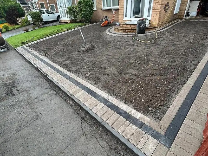
Block paving
Castleford
Castleford grew into an industrial town in the 19th century, where the Aire meets the Calder. Its red-brick terraces and semis sit over old coal workings and low ground, so what happens to the water matters as much as the surface you choose.
We promise to reply to every enquiry within the hour.
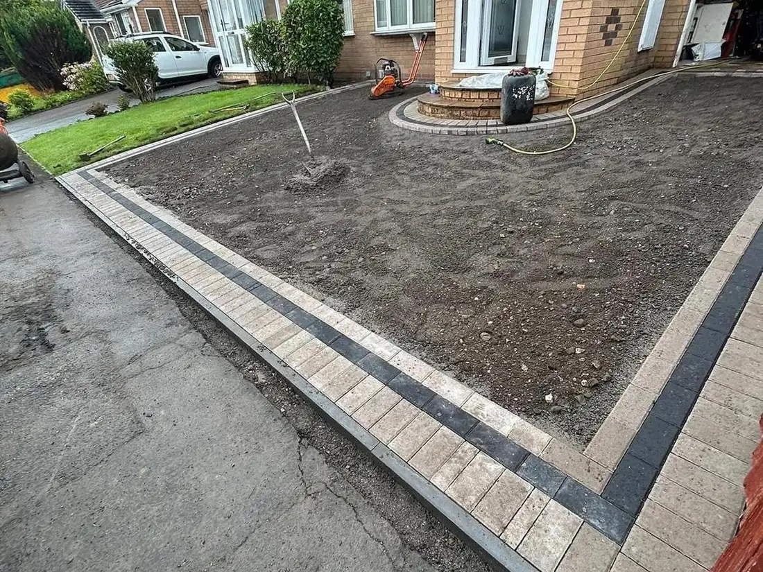
Across Castleford’s built-up area, 45.4% of households live in a semi and 28% in a terrace, against 31.5% and 23% across England. A third of households run two or more cars or vans, so off-street parking earns its keep.
The town stayed small until industry arrived in the 19th century, then grew to take in villages such as Glasshoughton. One home in five predates 1919, and 12% were built between 1900 and 1918 alone, against 5% across England. The council’s design code describes the old coalfield towns as mostly red brick, with terraces common and small front gardens, sometimes set around shared greens.
Whitwood Terrace, a listed row of 19 houses designed by C. F. A. Voysey in 1904, was built by the colliery company for its foremen. By the river, newer estates such as Navigation Point put parking to the side, so the front gardens aren’t swallowed by hard standing.
Under most of the town lie the Middle Coal Measures, grey mudstone, siltstone and sandstone with seams of coal, while Airedale and Ferry Fryston sit on dolostone, once called Magnesian Limestone. Alluvium and river gravels line the valleys. Parts of Glasshoughton, Whitwood and Ferry Fryston fall in development high risk areas for old mine workings.
The Aire at Castleford reached 3.34 metres on 27 December 2015, a whisker below its 2007 record, and the Environment Agency issues flood warnings for Lock Lane, the centre beside the Aire, and Whitwood Mere. Surface water is the more common risk. The council’s flood strategy maps homes at risk around Pontefract Road, Hightown, Cutsyke and Glasshoughton, and its flood risk assessment warns that soakaways generally won’t suit the parts of Castleford where groundwater rises. In the town centre, the sewers are mostly combined, on an old Victorian network.
Wakefield’s district design code, adopted in 2026, asks for bound, porous surfaces on front garden parking, no gravel within 2 metres of the road, and nothing steeper than 1 in 12.5.
Wakefield Council handles dropped kerbs here. You apply through its MyAccount service, its highways team inspects the spot, and if it agrees you get an application pack. It expects the drive to be finished first, a gravel drive to have 2 metres of hard standing at the road end, and a drive sloping down to the pavement to have drainage. On classified roads, such as Pontefract Road, Leeds Road and Methley Road, planning permission comes first.
After that, the council leaves the building to you. Your contractor needs street works cards for its supervisor and operative, public liability insurance and a permit, and the council inspects the finished crossing. Keep its approval letter, because you’ll need it when you sell. We’ll deal with the application, and our own team builds the crossing.
Castleford’s town centre became a conservation area in February 2026, around Bank Street, St Oswald Street and Wesley Street, though few houses fall inside it. Whitwood’s, from 1975, takes in Whitwood Terrace, where an Article 4 direction sets the colours of the front and back gates.
No Article 4 direction in Castleford takes away rights over front gardens, surfacing, walls or fences; the town’s other one covers small houses in multiple occupation. In both conservation areas, taking down a wall, gate or fence a metre or more high beside a road needs planning permission, and tree work needs six weeks’ notice.
Castleford
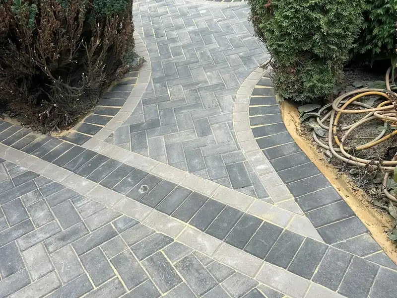
Castleford
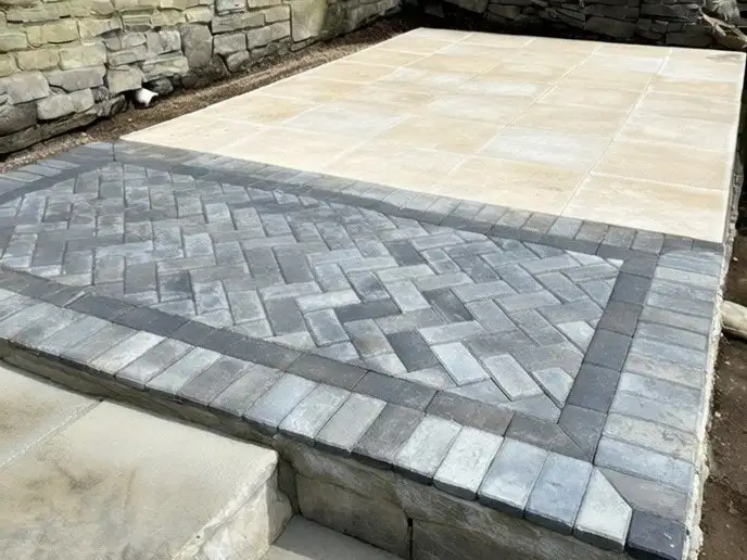
Castleford
Castleford
We do, once Wakefield Council has approved the crossing. Whoever builds it needs street works cards for the supervisor and operative, insurance and a permit, and the council inspects the work afterwards.
One that lets water through, such as resin bound, permeable block paving or porous tarmac, on a free-draining base. Soakaways don't suit every part of Castleford, so where the water goes is the first thing we look at.
In either conservation area, taking down a wall, gate or fence a metre or more high beside the road needs planning permission. On Whitwood Terrace, an Article 4 direction even sets the colour of the gates.
Work stops and it's reported to the Mining Remediation Authority, formerly the Coal Authority, which runs a 24-hour line for mine hazards.
Next step
We promise to reply to every enquiry within the hour.