
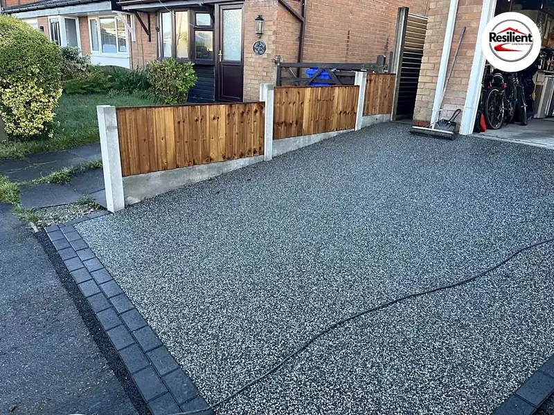
Resin bound driveway
Wakefield
Wakefield is a red-brick city of interwar and post-war semis, with Georgian terraces at its heart and a shallow coalfield beneath most of it. Surface water, old mine workings and the conservation areas all shape a new drive or patio here.
We promise to reply to every enquiry within the hour.
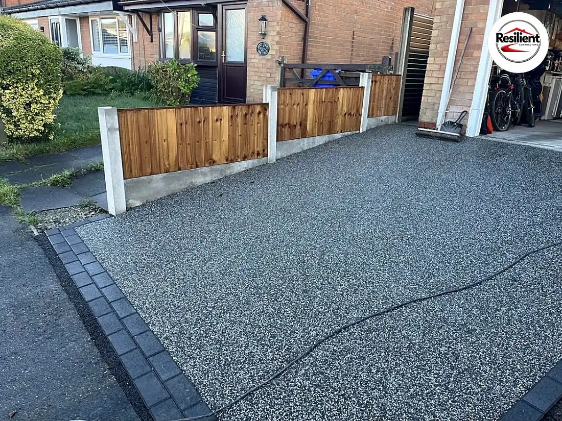
Across the Wakefield district, 44.6% of households live in a semi-detached house, against 31.5% across England, and 29.7% of homes went up between 1945 and 1972. In the four city wards, about a fifth of homes date from between the wars, rising to more than a third in Wakefield West, where well over half of households live in semis.
The council’s design code describes the city as mostly red brick with stone detailing, with Coal Measures sandstone on older houses and plain terraces for housing, and says villages such as Wrenthorpe, Alverthorpe and Outwood have merged into it through 19th- and 20th-century building. Eastmoor follows the garden city pattern, with curving streets, open green spaces and red brick and render semis, and Lupset’s estates were going up by 1930.
Parking has already reshaped some older streets. On South Parade, stone flags have given way in places to tarmac and concrete slabs, and the Wentworth Terrace appraisal lists gardens turned into car parking among the things harming the area.
The city stands on the Middle Coal Measures, grey mudstone, siltstone and sandstone with seams of coal, with sandstone under the cathedral and at Sandal and alluvium beside the Calder at Kirkgate. The council’s local plan describes a shallow coalfield under most of the district, and in the city wards nearly a third of the land is a development high risk area, with almost 200 recorded mine entries. Home improvements are exempt from coal mining risk assessments, but anything unexpected found in a dig goes straight to the Mining Remediation Authority’s hazard line.
The Calder runs through the city on its way to the Aire, and the Environment Agency issues flood warnings for Thornes and Calder Vale, and for Fall Ings and Belle Vue. The worst recent floods came from storms, though. In June 2007, 715 houses flooded around Ings Beck in north-west and central Wakefield, and 461 around Oakenshaw Beck at Agbrigg; Fenton Dam now holds back around 265,000 cubic metres of water above Westgate End. If a beck runs through your garden, keeping it clear is your job, and a culvert or bridge over it needs the council’s consent.
Since June 2026, the district design code has applied to home improvements that need planning permission. For front garden parking it wants porous, bound materials, loose gravel kept 2 metres back from the road and a slope of no more than 1 in 12.5, and a retaining wall of 1.5 metres or more beside the road needs the council’s bridges team.
Wakefield Council approves the crossing and inspects it afterwards, but it doesn’t build it: you find the contractor, who needs street works cards, insurance and a permit, because a permit scheme has covered every street in the district since March 2020. Hold on to the council’s sign-off letter, which you’ll need if you ever sell. We’ll sort out the application, then build the crossing ourselves.
There are 31 conservation areas across the district, nine of them in the city: the Cathedral, Lower and Upper Westgate, South Parade, St John’s, Wentworth Terrace, Wood Street, Wakefield Waterfront and Sandal Castle, with Heath close by.
St John’s, designated in 1968, has late Georgian terraces and villas behind low brick walls with stone coping, some still with the wavy wrought iron railings typical of Wakefield, which South Parade shares. An Article 4 direction there fixes the colours of railings, gutters and downpipes, and in Heath, another brings gates, fences and walls under planning control, though not hedges. Before changing a front wall or railings in St John’s, ask the council’s conservation team, because its older direction may cover boundaries too.
Anywhere in a conservation area, taking down a wall, gate or fence a metre or more high beside a road needs planning permission. Where a new front boundary needs permission, the design code asks for something low or see-through rather than solid close-boarded fencing.
Wakefield
Wakefield
Wakefield
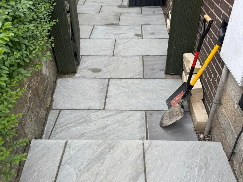
Wakefield
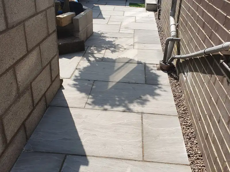
Wakefield
Possibly. Nearly a third of the land in the city wards is a development high risk area. A drive doesn't need a coal mining risk assessment, but if a shaft or old workings turn up during the dig, work stops and the Mining Remediation Authority is told at once.
Check with the council's conservation team first. In Heath, an Article 4 direction covers gates, fences and walls. In St John's, one fixes the colour of the railings, and an older direction may cover boundaries too.
Yes, but the council wants a 2-metre strip of hard standing at the road end, and a drive that slopes towards the pavement needs drainage.
It changes what we'd recommend. Most of the city's flooding comes from storms overwhelming the drains, so a permeable surface, or one draining into the garden, keeps the rain out of the system.
Next step
We promise to reply to every enquiry within the hour.